Iceland - The whole Ring Road in 5 Days?
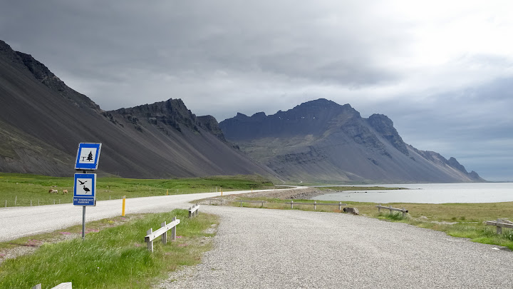
After a 4 months break from traveling and eight canceled flights meanwhile because of COVID, the time had come again to fly somewhere. I always wanted to visit Iceland and: everyone who has been there described it as absolutely stunning.
One of the few destinations that were possible to travel during Covid and which I have not been yet was Iceland. Iceland had opened the borders for a few weeks to check how it changes the infection rate.
One big concern I had during my plannings, was the question if I will have enough time to drive around Iceland within the time given.
Is it possible to see the Iceland Ring Road in 5 days?
 |
| Ring Road (blue), Golden Circle (yellow) |
I was in Iceland from Saturday to Saturday and my plan was to see Reykjavik
and driving down the Ring Road Route, which means once around Iceland, counterclockwise.
To see all the waterfalls and sights on this route, 10-14 days are recommended by most travel guides and therefore I knew that I will not be able to see many of the sites because I had too little time.
But that was OK for me as I didn't really have the urge to see every single waterfall, and nevertheless, I think I saw many of the best sites in Iceland.
Of course there was not enough time to spend hours and hours for lunch and breaks and on some days I simply got something from the supermarket and ate lunch along the way. But for bigger meals and for planning the details for the next day itinerary, there was plenty of time at dinner every evening.
It was a lot to drive but it was very pleasant, also because it never gets dark thanks to the midnight sun and therefore it is no problem to be out late in the evening.
After five days on the Ring Road, I returned back in Reykjavik. I started on Sunday from Reykjavik and was back in Reykjavik on Thursday afternoon. On Friday I looked around in Reykjavik and on Saturday morning I flew back home.
Arriving... and.. Corona Test at Reykjavik Airport for everyone
Arrived in Iceland on Saturday before 5pm and everybody had to wait 40 minutes in the plane and then strictly controlled row by row the passengers were allowed to leave the plane. Inside the airport were 10 cabins with about 100 people waiting to get tested (also from other planes).The test itself was ugly. I did already a COVID test before, but this at the airport was painful. Also when I observed the passengers after the test, I could say they felt the same. Maybe the testing personal was stressed and somehow annoyed and therefore less careful.
Burning down the rental car after 20 km...
It was a horrific start in this country. I will spend a week in Iceland and rented a car at the airport, as my plan was to drive around Iceland along the Ring Road. But as I had to wait for the COVID test result in accommodation in Reykjavik, I will start driving from Reykjavik tomorrow.But after 20 kilometers from the airport, my car broke down. The engine stopped working, made some unusual clicking sound and then the car suddenly smoked heavily as if the engine was on fire. I expected the car to start burning now.
Thanks, helpful Icelanders!
I stopped and hurried to remove everything from inside the car as fast as I could. The car was densely covered in smoke. It didn't last a minute and luckily random locals stopped and rushed for help by calling the police and rental company. But all the AVIS emergency numbers did not work and the AVIS offices were not available anymore. Thankfully the car stopped to smoke by now! The helping Icelanders (Arthurson and his wife) brought me back to the airport, but nobody from Avis could be found there either. I waited for 3 hours until the next arriving flight, where AVIS people showed up again at their desks and gave me a new car.
Finally, I arrived at 22.30pm at accommodation in the center of Reykjavik.
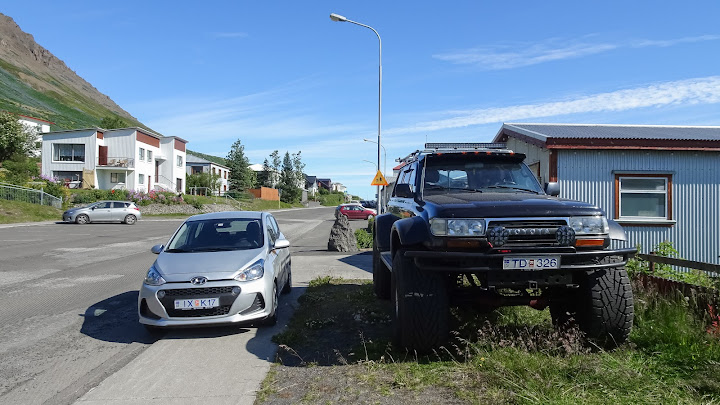
My rental car compared to one of the typical Icelandic 4wd trucks, seen all
over the country.
Day 1 – From Reykjavik to Kálfafell (5 hours – 390 KM)
The COVID result should be ready and messaged by text within 6 hours after the result - in case it's negative. When it's positive they will make a phone call! I waited the whole night but still didn't get any update, call or message regarding my result and I thought "this is it, they found COVID and I have now to quarantine for two weeks" - a shocking thought! So I called any number I could find but none of them answered the whole morning. By now it was almost lunchtime already and I called the hospital directly and interestingly they were able to help me. They asked for my COVID test number and then a few minutes later I got a call back that all is good and negative. It was now lunchtime when I could start my vacation.We apologize that you didn't get any text message with the negative results, that must have been technical issue.
A broken car which almost burned to the ground, then the delay with the COVID test result. It was a difficult start in Iceland.
Half of the GOLDEN CIRCLE
The Golden Circle is the most famous tour with many attractions. Because I lost a lot of time I also had to limit the planned route and could not see all things on the Golden Circle route.The first stop I made in THINGVELLIR NATIONAL PARK
Didn't stop at the Geysir at Strokkur and continued directly to the huge
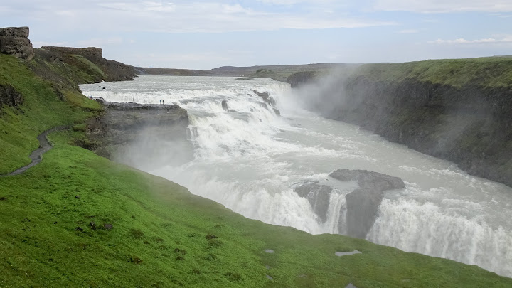
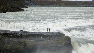
32-meter waterfall GULLFOSS.
The landscape is nice and every corner in Iceland looks different. I
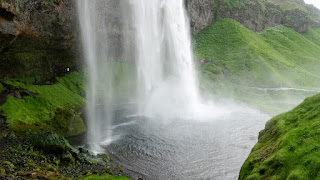
continued driving down to SELJALANDSFOSS where it's possible to walk behind
the waterfall.
It was now around 6pm when I arrived in the area around SKOGAFOSS Waterfall but the light is not the problem during the summer months. Huge waterfall,
despite seeing dozens of posts over the years you can’t beat the actual
noise and sight in person.
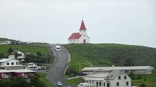
I continued driving 30 minutes to the town VIK. From here on it's off the Golden Cirle and it enters the official Ring Road. In VIK, There is a black sand beach and they have a few restaurants (which become less and less the more I drive to the east). Here I had some delicious lamb chops.
Planned to be in the guesthouse "Hvoll Guesthouse" in KALJAFELL by around
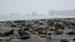
10pm. So still had a lot of time to visit REYNISFJARA Beach next to the town of VIK, which was easily accessible by car. It's another black beach and with huge basalt formations and lava rocks.
From here I drove to the guesthouse with the great landscape along the way and arrived at 10pm. Easy driving all the time, but it's important to be highly awake as the road is narrow. Sleeping on the steering wheel for one
second will end fatally in thick mud lakes and huge rocks beside the road.
Day 2 - From Kálfafell to Egilsstaðir (5 hours - 420km)
I left early in the morning at 6:00am, but I easily could have left at 4:00 a.m or earlier because it never gets dark in the summer months.From the parking, it's a 30 minutes hike along a
well-maintained path. It was a rainy morning but no problem to walk to the 20
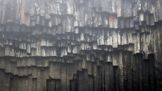
meters waterfall, which is directly at the end of the path. The waterfall is surrounded by hexagonal basalt columns.
The glacier-covered mountains are visible almost all the way towards the next bigger town HOFN with almost 2000 inhabitants. Its the biggest town in
this part of the country and the next bigger town EGILSSTADIR with 2600
inhabitants will be 200 kilometers away. There are a few smaller towns along the way with gas stations, small shops and restaurants.
The scenery on this side of the country is completely different than on the
west or north, maybe also because of the weather.
I arrived around 6pm here in Egilsstaðir where I will spend this night.
In this town are many restaurants and big supermarkets. For a town with solely
2600 people, it's a lot of business going on here, as this is the main hub and furthest away from Reykjavik. Also because all the tourists and transit traffic is going through this small town.
Day 3 - From Egilsstaðir to Akureyri (3 hours - 260km)
The section yesterday and this section today in the northeast of Iceland is the most spectacular one besides the Golden Circle. I could have seen much more in this section, but I didn't have the time. Basically, if I knew it beforehand I would have planned more time visiting the different places on this leg and maybe also up to the very north of the island.I got up early again at 6am and bought a coffee from a vending machine.
At this time no shop is open and also no gas station shop - they all open after 8am. While driving I was thinking if I should make a small detour and
visit the internet hyped place in Iceland which is called STUðLAGIL CANYON.
It a "new" attraction and got a lot of attention on social media. I didn't go there because I found some reports on the internet that it might be a messy walk on rainy days. Also, it would mean I had to skip some other place to
visit.
Nevertheless, I found a small factor "Stuðlagil Canyon" and river, even it was
not the typical basalt columns.
Compared to the days before it was in daily total kilometers much shorter
distances to drive for today, so I had good amounts of time accessing many
sites off from the main road and spending enough time visiting the
places.
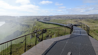
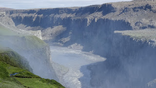
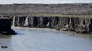
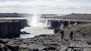
DETTIFOSS and SELFOSS are on the same site with some walking between the two waterfalls. They are among the most iconic places to see in Iceland. It was a
bit of a detour as they are lying about 30 minutes from the main road, but it
was impossible to miss it because of the many signs along the road.
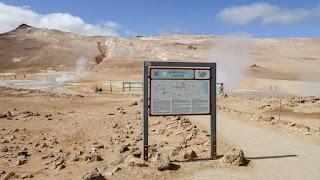
30 minutes back towards the main road. From here the density of sites started to increase. NAMAFJALL HVERIR was only a few minutes further. This is a volcanic area and the geothermal power with 200 °C is just a few meters under the ground. Above the surface, I see (and smell) the clay-sulfur
mixtures bubbling up. It was right next to the road, so I didn't need to hike.
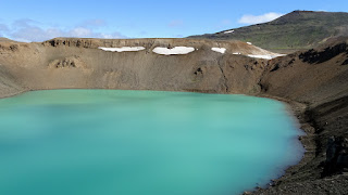
Another few minutes on the other side of the road, there is the KRAFLA area with a power plant. I can drive up to the top up until the lake. Solely had to get out of the car and there was the crater lake. Strong winds up there
but it was possible to walk along the rim.
At this point I was back on the way to Reykjavik, leaving the longest part of the Ring Road behind me. After the crater lake, I continued towards the
little 300-inhabitant town REYKJAHLID, which is a hub that consists of two
restaurants, one gas station and one supermarket.
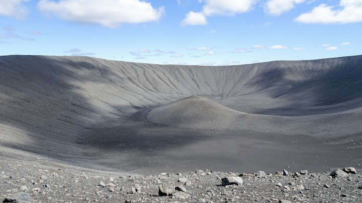
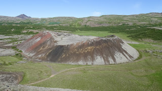
The next site I visited was the volcano HVERFJALL. This mountain looks like it was made with trucks and tons of sand. The view and the walk at the top
were spectacular, with the crater on the inside, other craters, and the
MYVATN LAKE on the other. Feels like being on another planet.
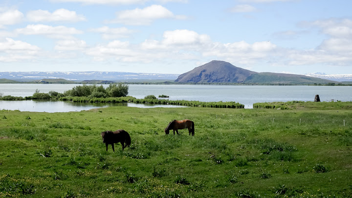
From the volcano, it was a short ride to the southern part of the MYVATN
LAKE. I stopped at a restaurant for coffee and the view on the lake,
followed by a quick walk through the many small craters of SKUTUSTADAGIGAR.
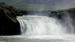
By now it was mid-afternoon and I was on the way to another waterfall called
GODAFOSS. It took only half an hour from the lake. The scenery is terrific along the road. I didn't need to make any more detours and it felt like the
Icelanders built the lakes and landscape by hand beside the road for the tourists and our cameras.
The last part of driving for today was towards AKUREYRI, which is the second biggest city in Iceland. It took one-hour getting there by driving through a landscape with many mountains and sheep.
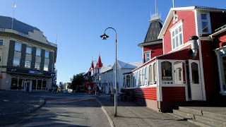
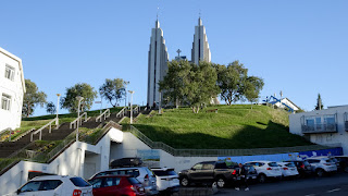
AKUREYRI is a compact version of Reykjavik. After parking the car at the
accommodation I walked through the city center and enjoyed the rest of the
evening having a good dinner in one of the many restaurants.
Day 4 - From Akureyri to Staður (4 hours - 300km)
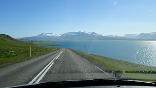
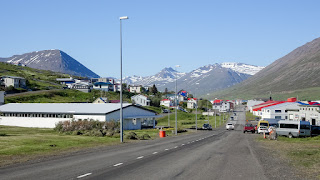
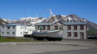
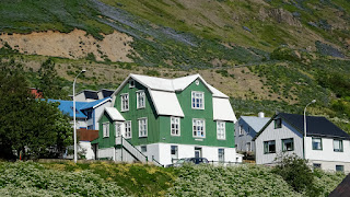
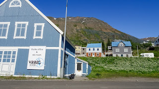
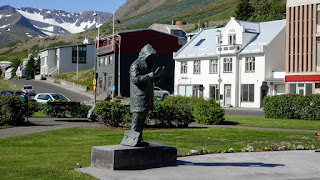
From here I made a big detour to the north, along the fjords and bays in SIGLUFJÖROUR. The longer the way led, the more normal vegetation and mountain formations appeared.
There are two or three very small towns along the road, but buildings look different in architecture. Difficult to describe, I would say, typically
Icelandic houses with typically Icelandic view on the sea and remains of the glaciers?
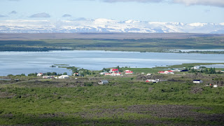
Driving along the Peninsula in the northern area of Iceland looks very different compared to the east coast. It's much more green here and is not as rough as on the east. Not as many mountains and it's also not so cold and windy as in the east.
That's why I preferred the east coast of Iceland a little more.
The section towards STADUR was more or less still steppe. Had organized the
accommodation at short notice, it was then in the middle of the prairie.
Day 5 -The last 170 km and back to Reykjavik (2 hours - 170km)
The last section before I drove back to Reykjavik. Theoretically, it would be possible to arrive in a simple two hours, so I made some detours to the peninsulas of BORGARNES... a dozen kilometers later AKRANES.Volcano along the way.
The first town that appeared on the horizon was Borgarnes. It's another tiny town with 4000 people living there, but it's considered the largest town in this part of Iceland and on the last leg of the Ring Road. I drove through the streets, went for a walk and continued to the next town called Akranes.
Akranes is only about 20km north of Reykjavik. Also here I drove through the streets went for a walk and then continued back to Reykjavik.
It was now at the beginning of the afternoon when I was on the way towards
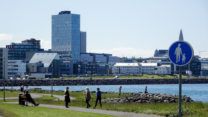
REYKJAVIK. The city slowly appears on the horizon when driving along the bays and soon the tall buildings become visible from far.
Day 6 - Visiting Reykjavik
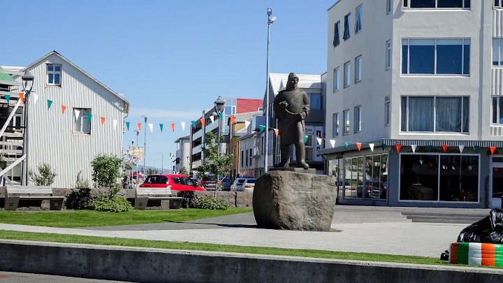
Didn't have my hotel right in the center, but with a rental car, it wasn't much of an issue as there were many free parking options all over the city. I had a whole day to explore Reykjavik. It does not have a lot of stunning buildings, but it has a lot of small things and very special sites that are unique and like nowhere else in the world.Day 7 - Departure back home
At 4 o'clock in the morning, I drove back to the airport with the rental car. This one is about 40 minutes from the Reyjkavik center. There is also the Flybus-Shuttle which is not much cheaper than renting a car for one day (Flybus costs about 22 Euro, the rental car costs about 28 Euro without gasoline). It was also pleasant to leave right in front of the hotel and arrive right in front of the airport and not have to walk to the bus stops.The departure was at 7.20am.



































































Love the details of information! Thank you! Tell me about the weather. Was it manageable? You look super happy in all of the photos, so I'm guessing it wasn't too bad!
ReplyDelete